
Thank you for supporting this site ❤️
Make a donation
Make a donation
Drolshagen topographic map
Click on the map to display elevation.
Thank you for supporting this site ❤️
Make a donation
Make a donation
About this map
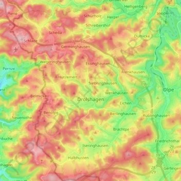
Name: Drolshagen topographic map, elevation, terrain.
Location: Drolshagen, Kreis Olpe, Noordrijn-Westfalen, 57489, Duitsland (50.97775 7.70168 51.07999 7.83112)
Average elevation: 396 m
Minimum elevation: 264 m
Maximum elevation: 525 m
Thank you for supporting this site ❤️
Make a donation
Make a donation