
Thank you for supporting this site ❤️
Make a donation
Make a donation
Castro del Río topographic map
Click on the map to display elevation.
Thank you for supporting this site ❤️
Make a donation
Make a donation
About this map
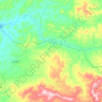
Name: Castro del Río topographic map, elevation, terrain.
Location: Castro del Río, Cordova, Andalusia, 14840, Spain (37.54636 -4.59466 37.78443 -4.37626)
Average elevation: 348 m
Minimum elevation: 158 m
Maximum elevation: 800 m
Thank you for supporting this site ❤️
Make a donation
Make a donation