
Thank you for supporting this site ❤️
Make a donation
Make a donation
Doddridge topographic map
Click on the map to display elevation.
Thank you for supporting this site ❤️
Make a donation
Make a donation
About this map
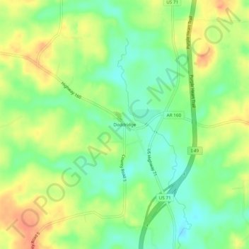
Name: Doddridge topographic map, elevation, terrain.
Location: Doddridge, Miller County, Arkansas, 71834, United States (33.07180 -93.92824 33.11180 -93.88824)
Average elevation: 80 m
Minimum elevation: 58 m
Maximum elevation: 104 m
Thank you for supporting this site ❤️
Make a donation
Make a donation
Other topographic maps
Click on a map to view its topography, its elevation and its terrain.