Яр topographic map
Interactive map
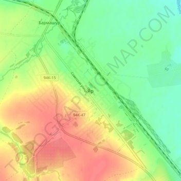
Click on the map to display elevation.
About this map
Name: Яр topographic map, elevation, terrain.
Average elevation: 153 m
Minimum elevation: 126 m
Maximum elevation: 184 m

Click on the map to display elevation.
Name: Яр topographic map, elevation, terrain.
Average elevation: 153 m
Minimum elevation: 126 m
Maximum elevation: 184 m