
Calag topographic map
Click on the map to display elevation.
About this map
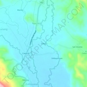
Name: Calag topographic map, elevation, terrain.
Location: Calag, Nasukob, Oriental Mindoro, Mimaropa, Philippines (12.33360 121.32670 12.37360 121.36670)
Average elevation: 28 m
Minimum elevation: 1 m
Maximum elevation: 185 m