
Go Home Lake topographic map
Click on the map to display elevation.
About this map
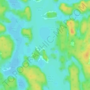
Name: Go Home Lake topographic map, elevation, terrain.
Average elevation: 192 m
Minimum elevation: 182 m
Maximum elevation: 212 m
Other topographic maps
Click on a map to view its topography, its elevation and its terrain.
Beausoleil Island
Canada > Ontario > Muskoka District > Georgian Bay Township
Average elevation: 180 m
Llanberris Island
Canada > Ontario > Muskoka District > Georgian Bay Township
Average elevation: 187 m