
Thank you for supporting this site ❤️
Make a donation
Make a donation
Gharqabad topographic map
Click on the map to display elevation.
Thank you for supporting this site ❤️
Make a donation
Make a donation
About this map
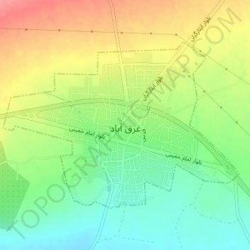
Name: Gharqabad topographic map, elevation, terrain.
Location: Gharqabad, بخش نوبران, Saveh County, Markazi Province, Iran (35.10044 49.81508 35.11850 49.84629)
Average elevation: 1,543 m
Minimum elevation: 1,504 m
Maximum elevation: 1,590 m
Thank you for supporting this site ❤️
Make a donation
Make a donation
Other topographic maps
Click on a map to view its topography, its elevation and its terrain.