
Thank you for supporting this site ❤️
Make a donation
Make a donation
Namugongo Bulooli topographic map
Click on the map to display elevation.
Thank you for supporting this site ❤️
Make a donation
Make a donation
About this map
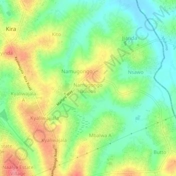
Name: Namugongo Bulooli topographic map, elevation, terrain.
Location: Namugongo Bulooli, Wakiso, Uganda (0.36689 32.63671 0.40689 32.67671)
Average elevation: 1,165 m
Minimum elevation: 1,127 m
Maximum elevation: 1,215 m
Thank you for supporting this site ❤️
Make a donation
Make a donation
Other topographic maps
Click on a map to view its topography, its elevation and its terrain.