
Thank you for supporting this site ❤️
Make a donation
Make a donation
Hazard topographic map
Click on the map to display elevation.
Thank you for supporting this site ❤️
Make a donation
Make a donation
About this map
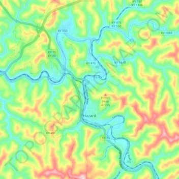
Name: Hazard topographic map, elevation, terrain.
Location: Hazard, Perry County, Kentucky, 41701, United States (37.22023 -83.23973 37.30115 -83.16124)
Average elevation: 362 m
Minimum elevation: 253 m
Maximum elevation: 556 m
Thank you for supporting this site ❤️
Make a donation
Make a donation
Other topographic maps
Click on a map to view its topography, its elevation and its terrain.