
Thank you for supporting this site ❤️
Make a donation
Make a donation
Sør-Jan topographic map
Click on the map to display elevation.
Thank you for supporting this site ❤️
Make a donation
Make a donation
About this map
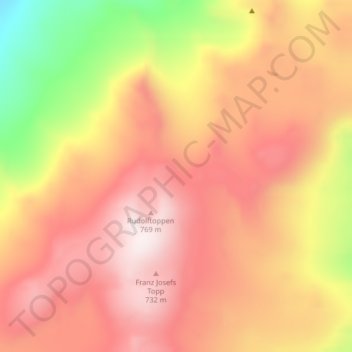
Name: Sør-Jan topographic map, elevation, terrain.
Location: Sør-Jan, Jan Mayen, Norge (70.88440 -8.87459 70.90440 -8.85459)
Average elevation: 481 m
Minimum elevation: 96 m
Maximum elevation: 729 m
Thank you for supporting this site ❤️
Make a donation
Make a donation