
Oulé topographic map
Interactive map
Click on the map to display elevation.
About this map
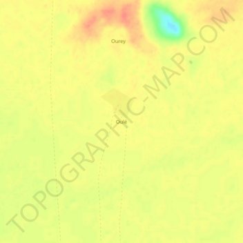
Name: Oulé topographic map, elevation, terrain.
Location: Oulé, Kanem, Tschad (14.40270 14.77368 14.44270 14.81368)
Average elevation: 345 m
Minimum elevation: 312 m
Maximum elevation: 360 m