
Thank you for supporting this site ❤️
Make a donation
Make a donation
Bidur topographic map
Click on the map to display elevation.
Thank you for supporting this site ❤️
Make a donation
Make a donation
About this map
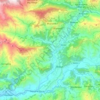
Name: Bidur topographic map, elevation, terrain.
Location: Bidur, Nuwakot, Bagmati Province, 44900, Nepal (27.85308 85.06163 27.98615 85.22811)
Average elevation: 926 m
Minimum elevation: 436 m
Maximum elevation: 2,265 m
Thank you for supporting this site ❤️
Make a donation
Make a donation