
Metekhis Sadguri topographic map
Interactive map
Click on the map to display elevation.
About this map
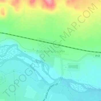
Name: Metekhis Sadguri topographic map, elevation, terrain.
Location: Metekhis Sadguri, Kaspi Municipality, Inner Kartli, Georgia (41.94081 44.33307 41.94492 44.34212)
Average elevation: 557 m
Minimum elevation: 519 m
Maximum elevation: 648 m