
Thank you for supporting this site ❤️
Make a donation
Make a donation
Cibeuteung Muara topographic map
Click on the map to display elevation.
Thank you for supporting this site ❤️
Make a donation
Make a donation
About this map
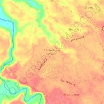
Name: Cibeuteung Muara topographic map, elevation, terrain.
Location: Cibeuteung Muara, West Java, Indonesia (-6.47310 106.65235 -6.43310 106.69235)
Average elevation: 92 m
Minimum elevation: 43 m
Maximum elevation: 112 m
Thank you for supporting this site ❤️
Make a donation
Make a donation