
Pindo topographic map
Interactive map
Click on the map to display elevation.
About this map
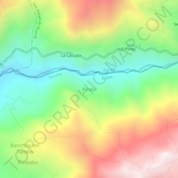
Name: Pindo topographic map, elevation, terrain.
Location: Pindo, Abañin, Zaruma, El Oro, Ecuador (-3.33860 -79.57118 -3.29860 -79.53118)
Average elevation: 948 m
Minimum elevation: 435 m
Maximum elevation: 1,616 m