
Thank you for supporting this site ❤️
Make a donation
Make a donation
Lawton topographic map
Click on the map to display elevation.
Thank you for supporting this site ❤️
Make a donation
Make a donation
About this map
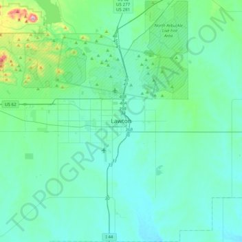
Name: Lawton topographic map, elevation, terrain.
Location: Lawton, Comanche County, Oklahoma, 73501, United States (34.44869 -98.55033 34.76869 -98.23033)
Average elevation: 361 m
Minimum elevation: 305 m
Maximum elevation: 747 m
Thank you for supporting this site ❤️
Make a donation
Make a donation