
Cancela topographic map
Interactive map
Click on the map to display elevation.
About this map
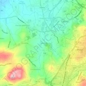
Name: Cancela topographic map, elevation, terrain.
Location: Cancela, Real, Dume e Semelhe, Braga, 4705-190, Portugal (41.53410 -8.47096 41.57410 -8.43096)
Average elevation: 116 m
Minimum elevation: 22 m
Maximum elevation: 293 m