
Thank you for supporting this site ❤️
Make a donation
Make a donation
Owensboro topographic map
Click on the map to display elevation.
Thank you for supporting this site ❤️
Make a donation
Make a donation
About this map
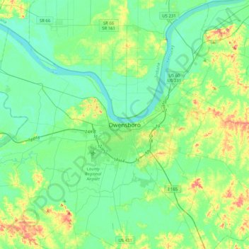
Name: Owensboro topographic map, elevation, terrain.
Location: Owensboro, Daviess County, Kentucky, 42, United States (37.61422 -87.27333 37.93422 -86.95333)
Average elevation: 125 m
Minimum elevation: 107 m
Maximum elevation: 177 m
Thank you for supporting this site ❤️
Make a donation
Make a donation