
Dongollo topographic map
Click on the map to display elevation.
About this map
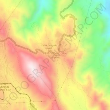
Name: Dongollo topographic map, elevation, terrain.
Location: Dongollo, Northern Red Sea Region, Eritrea (15.42872 39.10074 15.46872 39.14074)
Average elevation: 847 m
Minimum elevation: 478 m
Maximum elevation: 1,152 m
Other topographic maps
Click on a map to view its topography, its elevation and its terrain.