
Mannens topographic map
Interactive map
Click on the map to display elevation.
About this map
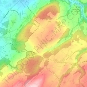
Name: Mannens topographic map, elevation, terrain.
Average elevation: 599 m
Minimum elevation: 472 m
Maximum elevation: 718 m
Other topographic maps
Click on a map to view its topography, its elevation and its terrain.
Cousset
Suisse > Fribourg > District de la Broye > Montagny (FR)
Cousset, Montagny (FR), District de la Broye, Fribourg, 1774, Suisse
Average elevation: 527 m