
Thank you for supporting this site ❤️
Make a donation
Make a donation
Ten Vorsel topographic map
Click on the map to display elevation.
Thank you for supporting this site ❤️
Make a donation
Make a donation
About this map
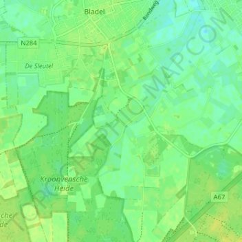
Name: Ten Vorsel topographic map, elevation, terrain.
Location: Ten Vorsel, Bladel, Noord-Brabant, Nederland, 5531, Nederland (51.32861 5.20246 51.36861 5.24246)
Average elevation: 32 m
Minimum elevation: 24 m
Maximum elevation: 38 m
Thank you for supporting this site ❤️
Make a donation
Make a donation