
Thank you for supporting this site ❤️
Make a donation
Make a donation
Carlos Fitzcarrald topographic map
Click on the map to display elevation.
Thank you for supporting this site ❤️
Make a donation
Make a donation
About this map
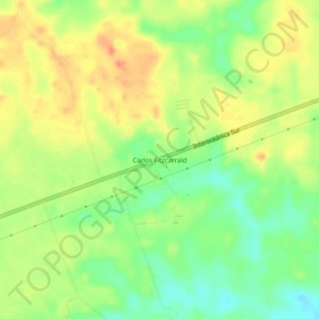
Name: Carlos Fitzcarrald topographic map, elevation, terrain.
Location: Carlos Fitzcarrald, Tambopata, Madre de Dios, Perú (-12.68954 -69.36733 -12.64954 -69.32733)
Average elevation: 221 m
Minimum elevation: 195 m
Maximum elevation: 246 m
Thank you for supporting this site ❤️
Make a donation
Make a donation