
Thank you for supporting this site ❤️
Make a donation
Make a donation
Caen Park topographic map
Click on the map to display elevation.
Thank you for supporting this site ❤️
Make a donation
Make a donation
About this map
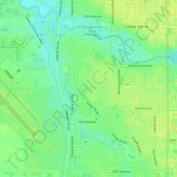
Name: Caen Park topographic map, elevation, terrain.
Location: Caen Park, Normandy Heights, Regina, Saskatchewan, Canada (50.43067 -104.63844 50.43211 -104.63564)
Average elevation: 576 m
Minimum elevation: 567 m
Maximum elevation: 582 m
Thank you for supporting this site ❤️
Make a donation
Make a donation
Other topographic maps
Click on a map to view its topography, its elevation and its terrain.