
Thank you for supporting this site ❤️
Make a donation
Make a donation
49130 topographic map
Click on the map to display elevation.
Thank you for supporting this site ❤️
Make a donation
Make a donation
About this map
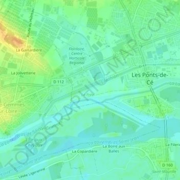
Name: 49130 topographic map, elevation, terrain.
Average elevation: 22 m
Minimum elevation: 12 m
Maximum elevation: 41 m
Thank you for supporting this site ❤️
Make a donation
Make a donation
Other topographic maps
Click on a map to view its topography, its elevation and its terrain.
Les Grandes Plaines
France > Pays de la Loire > Maine-et-Loire > Les Ponts-de-Cé
Average elevation: 24 m
La Loire - Bras de Saint-Aubin
France > Pays de la Loire > Maine-et-Loire > Les Ponts-de-Cé > Sorges
Average elevation: 20 m
Thank you for supporting this site ❤️
Make a donation
Make a donation
Le Clos du Pin
France > Pays de la Loire > Maine-et-Loire > Les Ponts-de-Cé > Le Clos du Pin
Average elevation: 29 m