
Hester topographic map
Interactive map
Click on the map to display elevation.
About this map
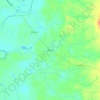
Name: Hester topographic map, elevation, terrain.
Location: Hester, La Salle Parish, Louisiane, États-Unis d'Amérique (31.71906 -92.34931 31.75906 -92.30931)
Average elevation: 25 m
Minimum elevation: 9 m
Maximum elevation: 58 m