
Thank you for supporting this site ❤️
Make a donation
Make a donation
Pottum topographic map
Click on the map to display elevation.
Thank you for supporting this site ❤️
Make a donation
Make a donation
About this map
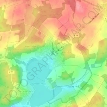
Name: Pottum topographic map, elevation, terrain.
Location: Pottum, Westerburg, Westerwaldkreis, Rijnland-Palts, Duitsland (50.58405 7.97666 50.61141 8.02311)
Average elevation: 449 m
Minimum elevation: 402 m
Maximum elevation: 492 m
Thank you for supporting this site ❤️
Make a donation
Make a donation