
Kleiner Belchen topographic map
Interactive map
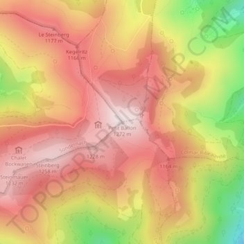
Click on the map to display elevation.
About this map
Name: Kleiner Belchen topographic map, elevation, terrain.
Average elevation: 1,050 m
Minimum elevation: 676 m
Maximum elevation: 1,266 m
Über den Kahlen Wasen führt die schmale Straße des Col du Petit Ballon. Am höchsten Punkt liegt ein Parkplatz, von dem der eigentliche Gipfel nach etwa 600 Metern Fußweg und weiteren ca. 150 Höhenmetern erreicht werden kann.