
Paulo topographic map
Click on the map to display elevation.
About this map
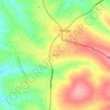
Name: Paulo topographic map, elevation, terrain.
Location: Paulo, Central Kamagambo ward, Rongo, Migori County, Kenya (-0.78660 34.58000 -0.74660 34.62000)
Average elevation: 1,460 m
Minimum elevation: 1,392 m
Maximum elevation: 1,527 m