
Thank you for supporting this site ❤️
Make a donation
Make a donation
Ried topographic map
Click on the map to display elevation.
Thank you for supporting this site ❤️
Make a donation
Make a donation
About this map
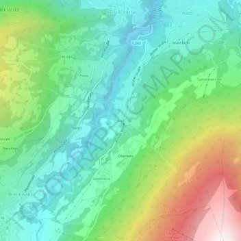
Name: Ried topographic map, elevation, terrain.
Location: Ried, Arzl im Pitztal, Bezirk Imst, Tyrol, 6471, Austria (47.16818 10.74046 47.20818 10.78046)
Average elevation: 1,235 m
Minimum elevation: 738 m
Maximum elevation: 2,348 m
Thank you for supporting this site ❤️
Make a donation
Make a donation