
park topographic map
Interactive map
Click on the map to display elevation.
About this map
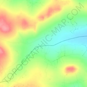
Name: park topographic map, elevation, terrain.
Location: park, Geita, Lake Zone, Tanzania (-2.66385 32.45754 -2.66375 32.45764)
Average elevation: 1,260 m
Minimum elevation: 1,208 m
Maximum elevation: 1,310 m
Other topographic maps
Click on a map to view its topography, its elevation and its terrain.