
Al Ula topographic map
Interactive map
Click on the map to display elevation.
About this map
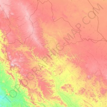
Name: Al Ula topographic map, elevation, terrain.
Location: Al Ula, Medina Province, 20115, Saudi Arabia (25.72536 37.08400 27.47331 38.94821)
Average elevation: 929 m
Minimum elevation: 59 m
Maximum elevation: 2,073 m