
Methler topographic map
Interactive map
Click on the map to display elevation.
About this map
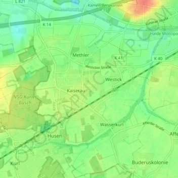
Name: Methler topographic map, elevation, terrain.
Location: Methler, Kamen, Kreis Unna, Nordrhein-Westfalen, Deutschland (51.54851 7.59030 51.59509 7.64471)
Average elevation: 67 m
Minimum elevation: 49 m
Maximum elevation: 93 m