
Eschêne topographic map
Interactive map
Click on the map to display elevation.
About this map
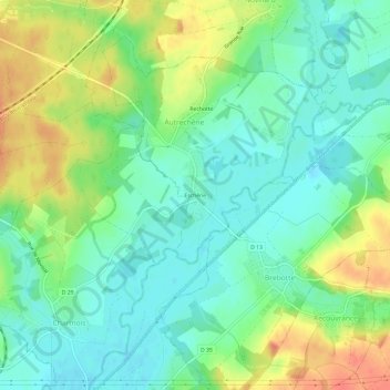
Name: Eschêne topographic map, elevation, terrain.
Average elevation: 349 m
Minimum elevation: 330 m
Maximum elevation: 379 m
Other topographic maps
Click on a map to view its topography, its elevation and its terrain.
Autrechêne
France > Bourgogne-Franche-Comté > Territoire-de-Belfort > Autrechêne
Autrechêne, Belfort, Territoire-de-Belfort, Bourgogne-Franche-Comté, France métropolitaine, 90140, France
Average elevation: 347 m