
Thank you for supporting this site ❤️
Make a donation
Make a donation
Mount Muria topographic map
Click on the map to display elevation.
Thank you for supporting this site ❤️
Make a donation
Make a donation
About this map
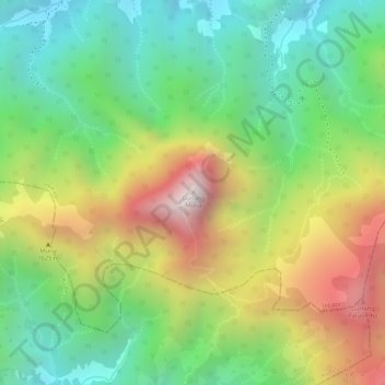
Name: Mount Muria topographic map, elevation, terrain.
Location: Mount Muria, Jepara, Central Java, Java, Indonesia (-6.61632 110.89020 -6.61622 110.89030)
Average elevation: 1,071 m
Minimum elevation: 697 m
Maximum elevation: 1,579 m
Thank you for supporting this site ❤️
Make a donation
Make a donation