Geolocate

Wirdum topographic map

Click on the map to display elevation.

About this map
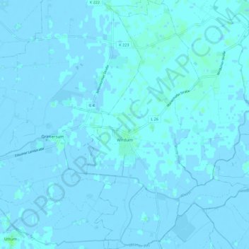
Name: Wirdum topographic map, elevation, terrain.

Location: Wirdum, Samtgemeinde Brookmerland, Landkreis Aurich, Lower Saxony, Germany (53.44889 7.18236 53.51439 7.26070)

Average elevation: 0 m

Minimum elevation: -4 m

Maximum elevation: 4 m

Other topographic maps

Click on a map to view its topography, its elevation and its terrain.

Greetsiel

Germany > Lower Saxony > Landkreis Aurich

Average elevation: -1 m

Arle

Germany > Lower Saxony > Landkreis Aurich > Großheide

Average elevation: 2 m

Arle

Germany > Lower Saxony > Landkreis Aurich > Großheide

Average elevation: 2 m