
Ellis Island topographic map
Interactive map
Click on the map to display elevation.
About this map
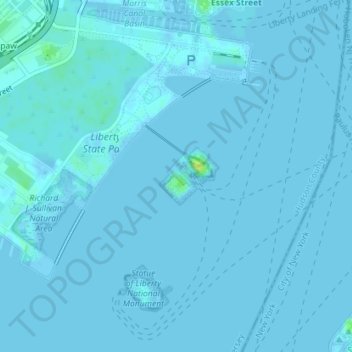
Name: Ellis Island topographic map, elevation, terrain.
Location: Ellis Island, Jersey City, Hudson County, New Jersey, USA (40.69646 -74.04368 40.70090 -74.03772)
Average elevation: 1 m
Minimum elevation: -3 m
Maximum elevation: 17 m