
Thank you for supporting this site ❤️
Make a donation
Make a donation
Fairfield Township topographic map
Click on the map to display elevation.
Thank you for supporting this site ❤️
Make a donation
Make a donation
About this map
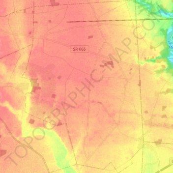
Name: Fairfield Township topographic map, elevation, terrain.
Location: Fairfield Township, Madison County, Ohio, United States (39.79217 -83.34696 39.90416 -83.24366)
Average elevation: 292 m
Minimum elevation: 250 m
Maximum elevation: 307 m
Thank you for supporting this site ❤️
Make a donation
Make a donation