
Thank you for supporting this site ❤️
Make a donation
Make a donation
La Daclea topographic map
Click on the map to display elevation.
Thank you for supporting this site ❤️
Make a donation
Make a donation
About this map
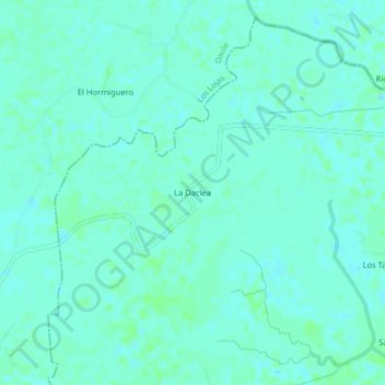
Name: La Daclea topographic map, elevation, terrain.
Location: La Daclea, Tarifa, Samborondón, Guayas, Ecuador (-2.01729 -79.85401 -1.97729 -79.81401)
Average elevation: 4 m
Minimum elevation: 1 m
Maximum elevation: 8 m
Thank you for supporting this site ❤️
Make a donation
Make a donation