
Thank you for supporting this site ❤️
Make a donation
Make a donation
Bragg Creek topographic map
Click on the map to display elevation.
Thank you for supporting this site ❤️
Make a donation
Make a donation
About this map
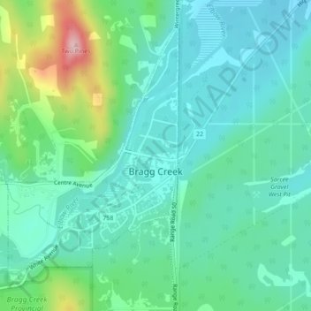
Name: Bragg Creek topographic map, elevation, terrain.
Location: Bragg Creek, Rocky View County, Alberta, Canada (50.94132 -114.58357 50.96424 -114.55960)
Average elevation: 1,326 m
Minimum elevation: 1,279 m
Maximum elevation: 1,477 m
Thank you for supporting this site ❤️
Make a donation
Make a donation
Other topographic maps
Click on a map to view its topography, its elevation and its terrain.