
Thank you for supporting this site ❤️
Make a donation
Make a donation
Südmoslesfehn topographic map
Click on the map to display elevation.
Thank you for supporting this site ❤️
Make a donation
Make a donation
About this map
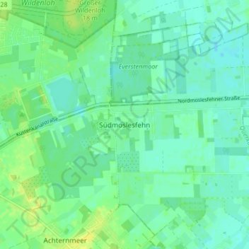
Name: Südmoslesfehn topographic map, elevation, terrain.
Average elevation: 8 m
Minimum elevation: 2 m
Maximum elevation: 18 m
Thank you for supporting this site ❤️
Make a donation
Make a donation
Other topographic maps
Click on a map to view its topography, its elevation and its terrain.
Tungeln
Deutschland > Niedersachsen > Landkreis Oldenburg > Wardenburg > Tungeln
Average elevation: 6 m
Klein Bümmerstede
Deutschland > Niedersachsen > Landkreis Oldenburg > Wardenburg
Average elevation: 8 m
Vogelbusch
Deutschland > Niedersachsen > Landkreis Oldenburg > Wardenburg > Hundsmühlen
Average elevation: 5 m