
Bozeman topographic map
Interactive map
Click on the map to display elevation.
About this map
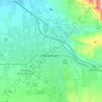
Name: Bozeman topographic map, elevation, terrain.
Location: Bozeman, Gallatin County, Montana, États-Unis d'Amérique (45.63479 -111.11982 45.73326 -110.98424)
Average elevation: 1,495 m
Minimum elevation: 1,392 m
Maximum elevation: 1,974 m