
Regitzer Spitz topographic map
Interactive map
Click on the map to display elevation.
About this map
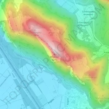
Name: Regitzer Spitz topographic map, elevation, terrain.
Location: Regitzer Spitz, Fläsch, Landquart, Graubünden, 7306, Schweiz (47.03713 9.50629 47.03723 9.50639)
Average elevation: 673 m
Minimum elevation: 485 m
Maximum elevation: 1,105 m