
Sungai Kupang topographic map
Interactive map
Click on the map to display elevation.
About this map
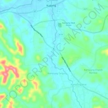
Name: Sungai Kupang topographic map, elevation, terrain.
Location: Sungai Kupang, Kupang, Baling, Kedah, Malaysia (5.58786 100.84274 5.64078 100.85792)
Average elevation: 71 m
Minimum elevation: 33 m
Maximum elevation: 209 m