
Winston topographic map
Click on the map to display elevation.
About this map
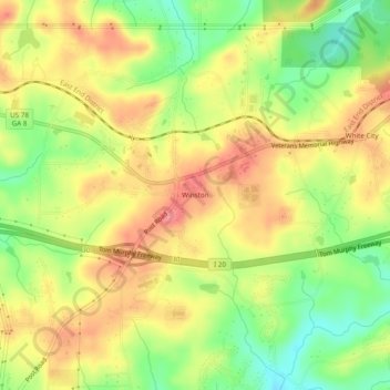
Name: Winston topographic map, elevation, terrain.
Location: Winston, Douglas County, Georgia, 30187, United States (33.70511 -84.84494 33.74511 -84.80494)
Average elevation: 340 m
Minimum elevation: 295 m
Maximum elevation: 378 m