
Thank you for supporting this site ❤️
Make a donation
Make a donation
Kampung Baru topographic map
Click on the map to display elevation.
Thank you for supporting this site ❤️
Make a donation
Make a donation
About this map
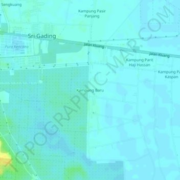
Name: Kampung Baru topographic map, elevation, terrain.
Location: Kampung Baru, Sri Gading, Batu Pahat, Johor, 83300, Malaysia (1.82206 103.02117 1.86206 103.06117)
Average elevation: 4 m
Minimum elevation: 1 m
Maximum elevation: 23 m
Thank you for supporting this site ❤️
Make a donation
Make a donation