
Thank you for supporting this site ❤️
Make a donation
Make a donation
GETA topographic map
Click on the map to display elevation.
Thank you for supporting this site ❤️
Make a donation
Make a donation
About this map
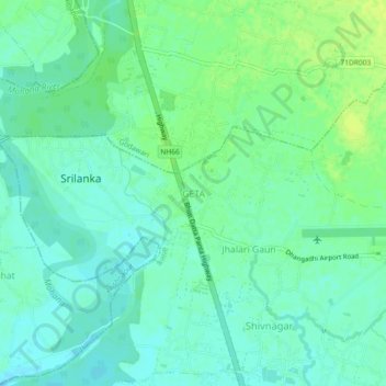
Name: GETA topographic map, elevation, terrain.
Location: GETA, Dhangadhi, Kailali, Sudurpashchim Province, Nepal (28.73926 80.54134 28.77926 80.58134)
Average elevation: 187 m
Minimum elevation: 180 m
Maximum elevation: 196 m
Thank you for supporting this site ❤️
Make a donation
Make a donation
Other topographic maps
Click on a map to view its topography, its elevation and its terrain.