
Alsfeld topographic map
Click on the map to display elevation.
Alsfeld
The Pfefferhöhe rest area near Alsfeld is the second highest rest area (in altitude) along the A 5, the and also a popular meeting place.
About this map
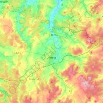
Name: Alsfeld topographic map, elevation, terrain.
Location: Alsfeld, Vogelsbergkreis, Hesse, 36304, Germany (50.69798 9.17093 50.82661 9.46126)
Average elevation: 331 m
Minimum elevation: 220 m
Maximum elevation: 487 m
Other topographic maps
Click on a map to view its topography, its elevation and its terrain.