
Thank you for supporting this site ❤️
Make a donation
Make a donation
The Village topographic map
Click on the map to display elevation.
Thank you for supporting this site ❤️
Make a donation
Make a donation
About this map
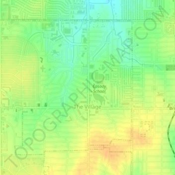
Name: The Village topographic map, elevation, terrain.
Location: The Village, Oklahoma County, Oklahoma, United States (35.55785 -97.57589 35.58021 -97.54022)
Average elevation: 369 m
Minimum elevation: 352 m
Maximum elevation: 381 m
Thank you for supporting this site ❤️
Make a donation
Make a donation
Other topographic maps
Click on a map to view its topography, its elevation and its terrain.