
Oued Ghir topographic map
Interactive map
Click on the map to display elevation.
About this map
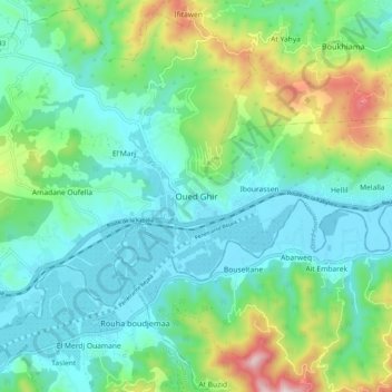
Name: Oued Ghir topographic map, elevation, terrain.
Location: Oued Ghir, Bejaia District, Bejaia, 06017, Algeria (36.67063 4.93829 36.75063 5.01829)
Average elevation: 150 m
Minimum elevation: 4 m
Maximum elevation: 597 m