
Parag topographic map
Interactive map
Click on the map to display elevation.
About this map
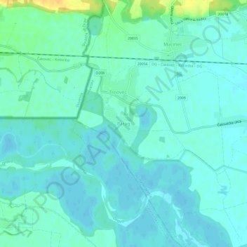
Name: Parag topographic map, elevation, terrain.
Location: Parag, Općina Nedelišće, Međimurska županija, Kroatië (46.35838 16.29022 46.39838 16.33022)
Average elevation: 177 m
Minimum elevation: 170 m
Maximum elevation: 200 m